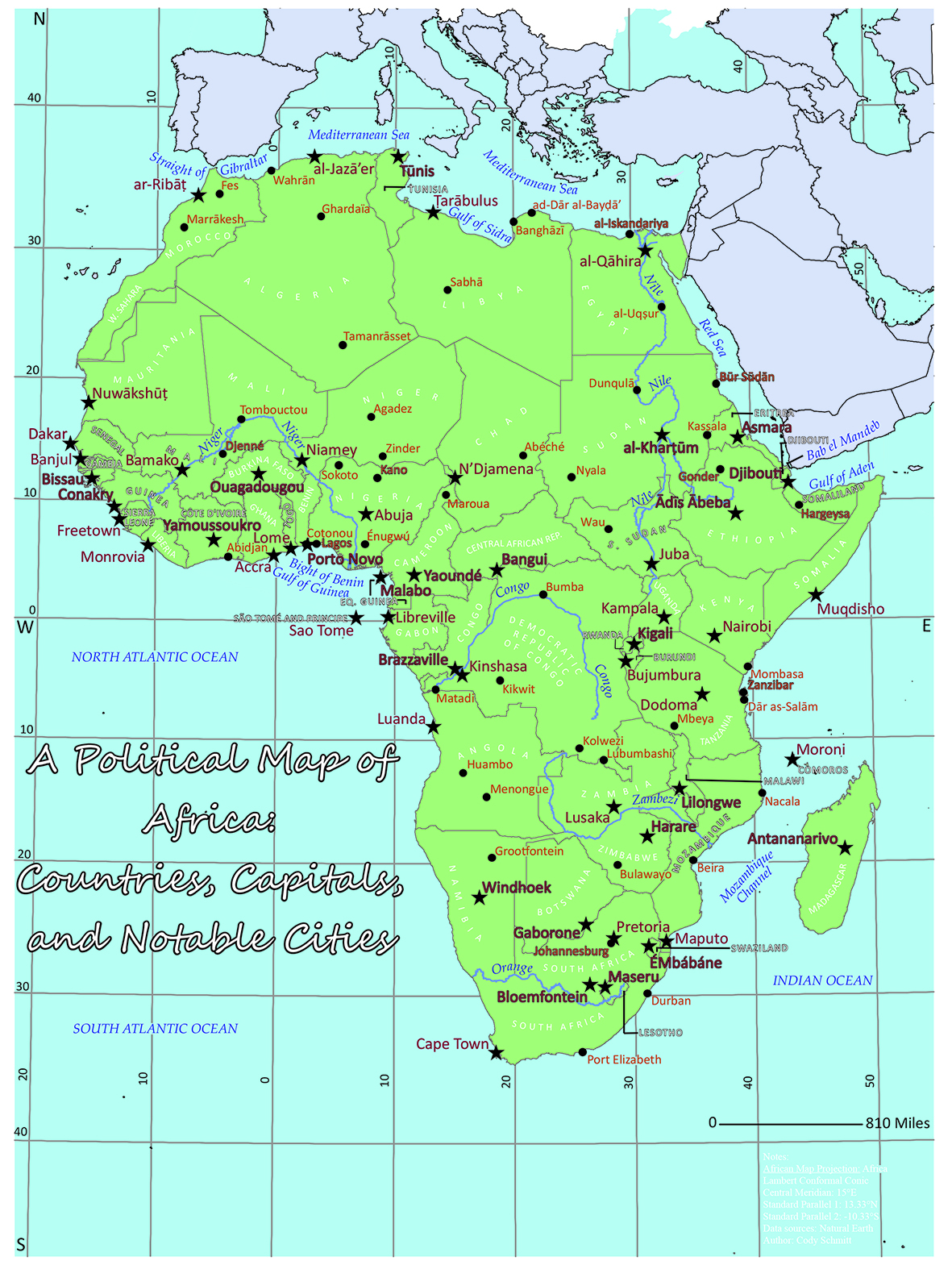
This is my map from my second lab in my introductory cartography course. It is designed to demonstrate our knowledge of map typography appearance and placement. The map needed to be information-dense and we were given a choice between a political or physical geography map of Africa. As I chose the political variant, we were required to include labels for all 53 capital cities, 47 additional populated cities, 12 marine areas, and 5 major rivers. We also were required to label all recognized countries within the extent.